Friday, February 25, 2011

Danger Danger Danger

Aotea Island signs are full of helpful warnings about how to deal with hazardous situations:

Do not put your head underwater in the hot springs. The impulse to do so is strong, definitely, but only in a morbid kind of way. Like when you are driving and you have the notion to put your head in the steering wheel. Why do humans have these thoughts? I don't know.

I hated color-coded fear in America, and I'm sad it has made it to New Zealand. I thought about burning this sign down in a neatly ironic protest.


My favorite danger sign was really just warning me about how much I would enjoy crossing this deep gully on a swing bridge made out of metal and chainlink, Indiana Jones style.


Aotea Island is a dangerous place but, like most danger, only if you bother to read. What, me worry?

Thursday, February 24, 2011

Go North

North of Auckland, about four and a half hours by boat, is a fantastic island called Aotea, aka Great Barrier Island. A mere 600 people live in this paradise of rocky mountains, forested valleys, naturals hot springs and cool, wide beaches. I got off the ferry at Tryphena harbor where I got a ride up to where I started hiking. Jill (or Gell) the van driver had lived on the island for 12 years. When I told her how fresh it felt, so free of electric lights or pollution in the air she said "Well, sometimes the dust can be a problem." I found it hard to agree with this being a problem.


Quite a lot to see from the precipices of the coastal track along the east coast. Looking here at Rakitu (Arid) Island from Aotea.


The forest has trees that grow at all levels, and it would seem at different levels of sunlight. This makes it really dense, and muggy when it's wet.


Have you ever camped close to cows? It's scary. Quit lookin' at me, cow.


From the front door (only door, really) of my tent Thursday night.

Tuesday, February 22, 2011

Finding Aotea - we interrupt this broadcast -

image from stuff.co.nz

So much going on today that it's hard to know where to start. Yesterday, a huge earthquake hit Christchurch. It was a 6.3 which was not as strong as last September's 7.something, but it was much closer to the surface (only 7 km deep compared to 33km). This, and the fact that the city was already weakened, meant that it was much more deadly and costly. Get updates and see pictures in the New Zealand Herald online. And if you feel generous, you can donate by specifying the Canterbury Earthquake Appeal (which the U.S. is supporting with an urban search and rescue team) in addition to scores from other countries.

This disaster is devastating. 80% of New Zealand's second largest city is without water, and a significant portion, at least half, is without power. The city has been closed for what will probably be the week, with schools being turned into emergency shelter and distribution centers. In a show of kiwi spirit, the mayor has arranged for emergency cash distribution since all the ATMs are not working. I find this trusting and rational response very heartening, even though it is being made with a huge amount of grief and sorrow.

I'm safe and everyone I know in Christchurch is safe. I was going to blog about my recent trip to Aotea (Great Barrier) Island, accounting for why I was even further away from Christchurch than I normally am, but I'll save it for the next post.

Monday, February 14, 2011

Piha Gorge-ous


After a night out exploring the cultural delights of Auckland, Coop and I heroically got up early and went with the friendly and intrepid Auckland Hiking group I found through meetup.com. The group headed to the Waitakere Ranges, a large area of native bush just a 45 minute drive west of Auckland.

This was not an ordinary hike. Here's what the "trail" looked like:


A stream hike. Incredible! Usually when I come to a stream, I try to figure out how to avoid getting wet. But on this hike, that was out the window from the beginning. Here I am, in the middle, being ungainly, and Coop getting ready to watch me fall in:

Pretty quickly I decided that I didn't mind going under. In fact, at some points it was necessary to swim short distances


After a long and exhausting but incredible swim-hike, we took a break and went to nearby Piha beach. This beach is fantastic because it is so long and wide open, but surrounded by cliffs. The main beach spreads out around Lion Rock, that large one in the middle.


and to south, a lagoon has been carved out


but it's still connected in places, like this sea tunnel

Sunday, February 13, 2011

the trip, part 2, part c: OUT

The morning came and fortunately the weather had rained itself out. So I got to wake up to waterfalls pouring like an avalanche coming down the mountain.


I thought that was cool and all until I saw this:


Hopefully the picture is good enough to capture that this waterfall fell from a slope so steep and high that it never hit the ground! It just evaporated in the wind coming through the valley. Wild.

More and more walking, enjoying how light our packs were after eating most of our food. We had taken a large supply of homemade trail mix, dried figs and apricots, some VitaMix (like gatorade) packets and a large supply of Bumper Bars and One Square Meals.

Both of these delightful products are made by Cookie Time, a kiwi company that was founded by New Zealands only indigenous muppet:


The long road emerged from the beech-dominated forest along the shore of fantastic Lake Motaru. Coop and I agreed that relaxing on the sand next to a freezing cold mountain lake was a fine reward for our efforts. We did not agree that swimming in the freezing cold lake was another fine reward. While Coop tooka dip, my inner Librarian took over, compelling me to organize the magazines in Motaru Hut where we slept that night.

Another short walk the next morning brought us to the end of the trail, but not without some really exciting river crossings over swaying suspension bridges like this one:

The end of the trail happened to be part of the scenery from The Lord of the Rings, but as these sites go it was pretty underwhelming. The guidebook said it was one of the locations for the River Anduin, but who knows where or when the heck that was in the movie?

In fact, we probably got closer to Peter Jackson and co. when we hit up the cast's favorite restaurant and bar in town, the Redcliff cafe back in Te Anau.


There were more adventures back in Auckland, ones where I am forced to jump into something I am not sure I'll like. Stay tuned, true believers!

Wednesday, February 9, 2011

the trip, part 2, part b: DOWN

So here we are on the top of Mt. Luxmore, thousands of feet above the surrounding valleys and lakes and forests. Starbucks Via instant coffee does its miraculous, medicinal thing, and we're off.

You should take a minute to read my trailbuddy's blog. Inevitably when you go hiking with someone and sleep in a stupid 6' x 3' nylon bag night after night, you want to pretend that no one will know if you kill them and leave them somewhere along the trail. Coop didn't do that to me, and I really appreciate it. He was probably too busy taking great pictures to kill me, anyway. That must be it.

The wind up at the top of the mountain is incredible. It seems to come from all directions at once, like you are imploding in slow motion, and then all of a sudden it changes. The hut warden told tales of smaller trampers being lifted off of the ground by the gales. This sounded fun to me until Coop pointed out that while flying is fun, landing remains an issue. True. I regretted not bringing more trail mix.


The trail led away from the deeeeee-Luxmore hut on into the Kepler mountains. We did a fair bit of hiking on trails cut across the side of the mountain, but in some places it took us right along the ridge, offering deep valley views on either side. I loved the crops of exposed rock we passed by on the top.

After a ways we came to the last lookout on the peaks and began the decent. Like I said before, the forest on this western side was more dense and had more ferns and lush moss and undergrowth. We began to see the head waters of some rivers we would cross in their fuller version later. The Department of Conservation does a pretty awesome job of providing bridges that make the trail doable, but still really wild. Check out Coop strolling along about 50 metres up in the air here:

At the bottom, we reached our campsite and set up the tent. Having some time to chill out and explore the Iris Burn area was a boon. The waterfall out a ways in the forest was a nice place to hang out.

We saw a ghost here later that night, and Coop even got a picture! But he deleted it to make room for the running video commentary he was making, which I hope he shares on trailblog.

the trip, part 2, part a: UP


Arriving in Queenstown by plane from Christchurch was a treat. Queenstown is sort of nestled right into a small patch of grass on the side of a mountain and in front of a lake. The airport had a helpful dirsplay of what not to bring on a plane, possibly inspired by terrible airplane disaster movies.


Queenstown is a small oasis that reminded me a lot of Boulder, Colorado. Small, colorful town, jumping off point for adventure. We did some last minute shopping for Bumper Bars (like clif bars), a mozzie net (for mosquitos, but better used for sandflies) and then a final kebab and ginger beer before heading into wilderness.


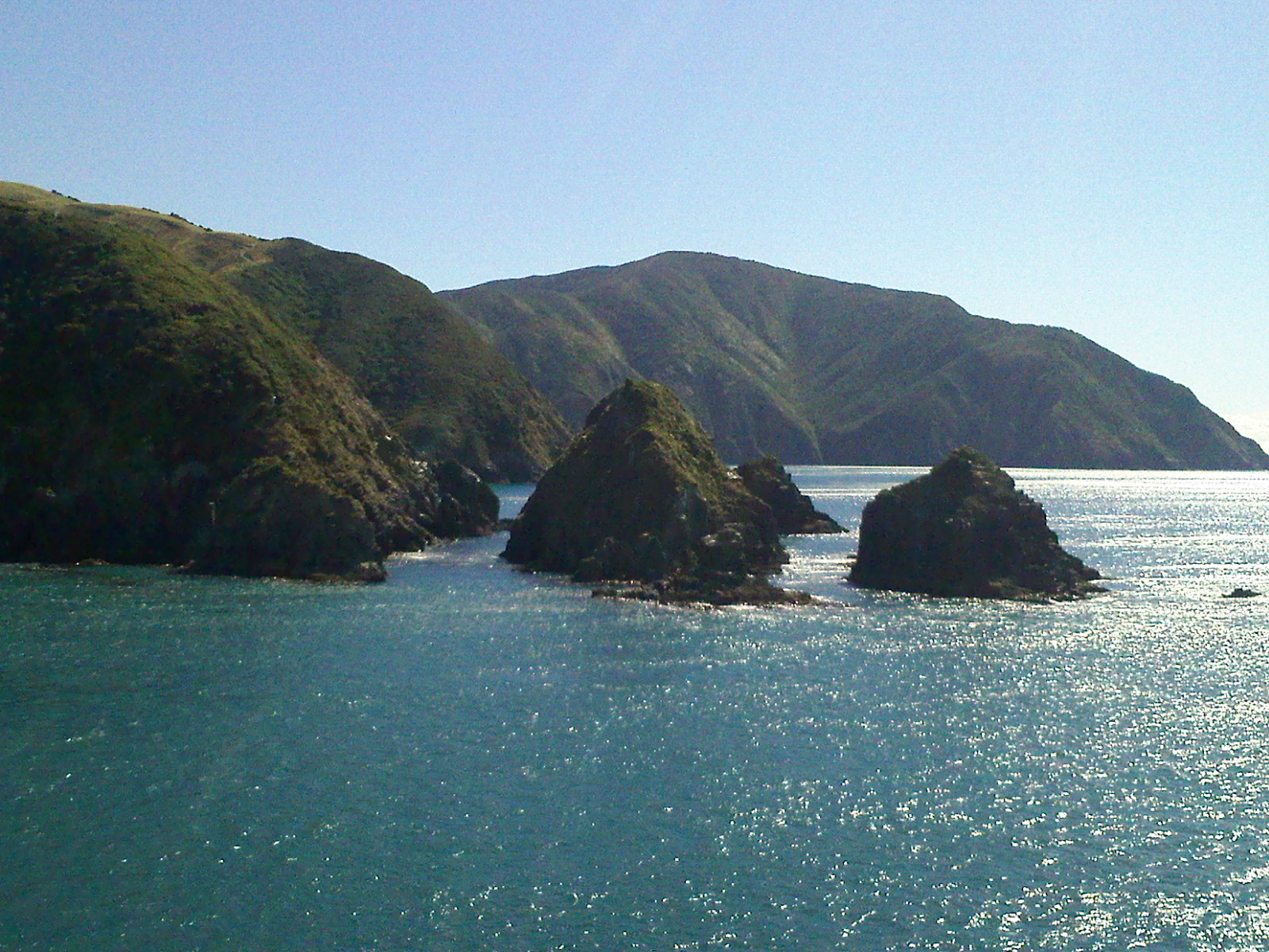
It takes a two hour shuttle ride to get from Queenstown to Te Anau where the Fiordlands National Park office and Kepler Track trailhead is located. The forecast for the trip went like this: rain, heavy rain, rain and gale force winds, chance of showers. It's hard to say why I thought hiking in four days of rain sounded like what I wanted to do, but I was intoxicated with finally being in the forests and mountains. I was not thinking straight, but fortunately neither was Coop and we set out. As it happened, the weather really went like this: rain, partly cloudy, light showers, sunny. Most of the rain happened at night, and the effect was to swell the rivers and waterfalls we saw. So it was all to the good.

The west coast, facing the Tasman Sea, gets a lot of rain on the west side of the mountain and not as much on the east. This means that the forests on the east side have different vegetation than the lusher and more rainforest-y west.

Day one took us to the Brod Bay campsite where it rained all night. Only the promise of Starbucks instant coffee, Via, kept me alive. Day two had the majority of the climbing, and in fact after a lot of effort we cleared the bush line, the altitude above which trees don't grow. That's where the really cool views started.


Day two ended at the Luxmore hut. And it was certainly more 'lux than we were expecting. It even had a helipad!


We arrived early enough to nearly get lost in the nearby Luxmore Caves. They kept going on forever down into the mountain. It was perfectly dark in there, there were no lights or handrails or signs. They just expected you to behave and be careful, although they did have signs in the hut that required you to take two light sources per person in case one failed. We crawled under rocks, over stalagmites, and through the small stream that was carving out the cave. A really amazing place. The only down moment was that the bald guy who dropped his ring in there. I felt bad for him.

Sun setting behind us, the view from Luxmore was one to remember.

Tuesday, February 8, 2011

the trip, part 1

Back home after a long trip away with my buddy Coop. Finally made it to the South Island going by train, boat, plane and foot. Coop and I decided to head for Fiordland National Park, on the southwest part of the country. New Zealand has three train rides that take you over long distances: the Overlander that crosses the North Island and connects Auckland and Wellington, the Transcoastal the connects Picton and Christchurch along an east coast route, and the Transalpine which negotiates the mountains between Christchurch and Greymouth.

We started on the Overlander. Twelve hours of scenery including mountains around the center of the island and deep valleys towards the south. It's important to stock up on snacks like delicious Pineapple Lumps for such long rides even though the dining car offers nice lunch options. The train had an observation deck that was open to the outside. It's amazing how fast trains whip over the tracks. It also made for a great spot to take pictures of crossing over high up railway bridges.

The train got into Wellington with enough time for us to check into a hostel and hit the streets. Hunger and hot blood from a day on a train drove us to the city center where we found, as if by magic, the perfect place to eat: Abra-kebab-ra! A kebab is like a gyro, but since little lammykins are raised all over NZ, the ingredients are delicious.

Early next morning, we boarded the Interislander ferry to Picton.
Stunning scenery, and no pirates even though they were marked on the map. Good news for us.

Straight from the ferry onto the Transcoastal train. This train had a whole car for observation, rather than just a small porch. I'll never forget the pleasure of speeding on tracks a stone's throw from the ocean, through tunnels and short grassy fields, in between small enclaves of pine trees and waving to the seals lounging on the rocks. This was my favorite part of the traveling to our destination.

Christchurch is a much smaller and flatter city than Auckland, and it happens to be where our buddy JT lives. He showed us around and explained that the line out the door and around the corner at Wendy's is due to the fact that it is the first of its kind there. Can't get over the square patties, maybe. JT was an excellent host and took us to the best bar in town, which had live music and an open attic, complete with comfy furniture. Falling asleep in bars is nothing new to me but I wished they hadn't made it quite to easy. Coop and I needed our energy though, because the next day we started our five day hike along the Kepler Track in Fiordland National Park. Stay tuned for the next installment of the trip!